This outdoor geography unit transforms map skills into active, memorable adventures. From building large-scale maps with natural materials to creating their own compasses and navigating using aerial photographs, children will develop directional language, compass skills, and an understanding of map symbols through movement and collaboration. Each lesson blends hands-on exploration with real-world application, making geography engaging, practical, and fun.
Lesson Plans
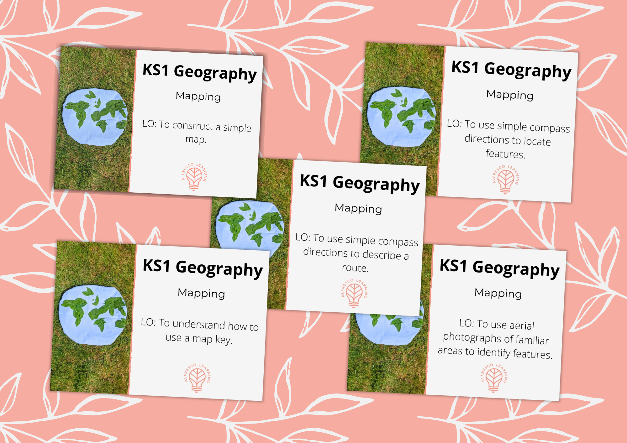
Constructing maps
Have your children use their interactions with nature in your outdoor space to construct large scale maps. This is an engaging outdoor lesson that also combines well with journey stories in English.
Using their own experiences of following a map of your own outdoor space, this practical outdoor lesson will give your children the opportunity to build their understanding of the purpose of map symbols.
During this outdoor lesson your children will use nature and a nifty trick to make their own compass! They’ll then focus on compass points and route creation through activities that involve movement and collaboration around your own outdoor space.
Learning objective:
To use simple compass directions to describe a route.
Combining an exciting outdoor game and hands-on experiences, this outdoor lesson gives your children the opportunity to deepen their understanding of directional language and compass points to navigate a map.
Learning objective:
To use simple compass directions to locate features.
Have your children apply the navigational skills learned throughout this unit, using aerial photographs to investigate the human and physical features of your outdoor space. A easy to prepare outdoor lesson that your children will remember!
Learning objective:
To use aerial photographs of familiar areas to identify features.